
A full CAD studio in the browser
Real CAD, no desktop install. Generate layouts from a boundary with the local ordinance's setbacks, run yield on the real design, and export an issued drawing package.
Electrical design on the real layout
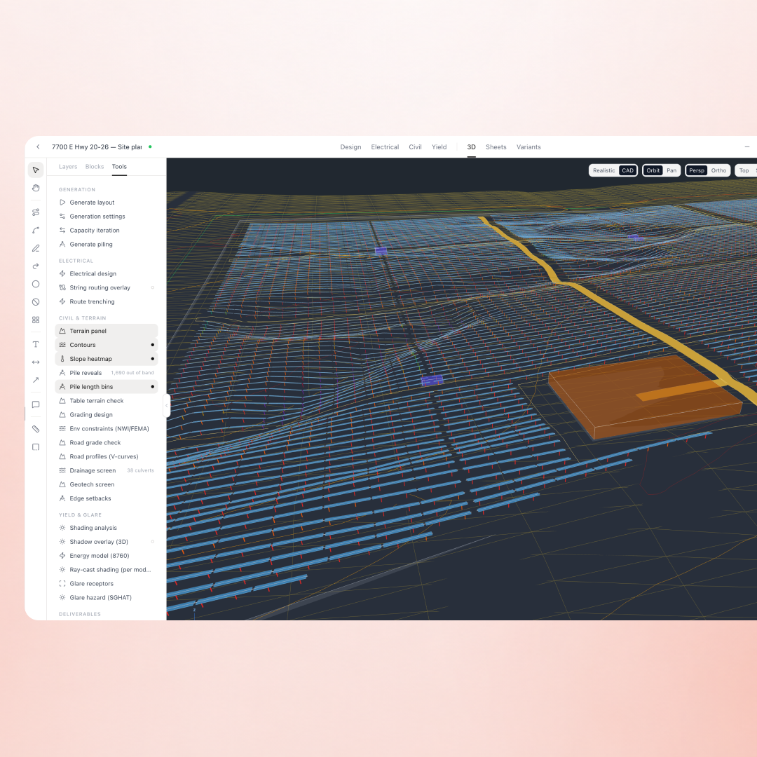
String blocks, combiner assignments, and routing are generated from the layout itself, around the roads, setbacks, and substation already in the model. Change the layout and the electrical design follows.
Civil work on real terrain
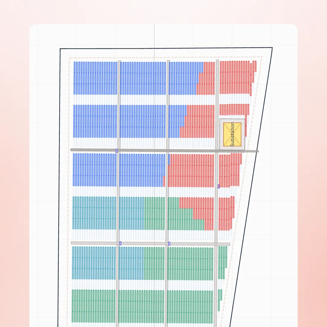
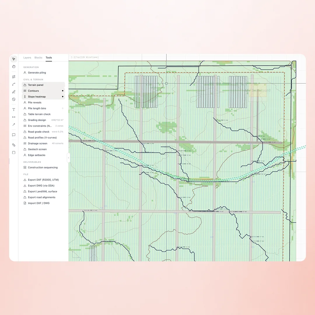
Contours, slope heatmaps, grading design, road grade checks, and drainage screening run on the actual elevation model, with piling generated to match. Export the surface as LandXML when civil takes over.
Drawings you can issue
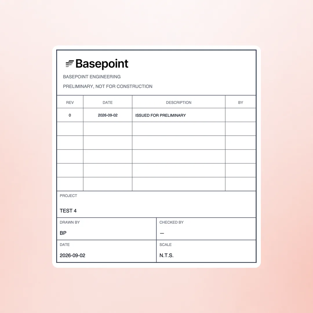
Sheets carry a real titleblock: revision history, drawn-by, date, and scale. Plot to PDF or export DXF and DWG when the package goes out for review.
Frequently asked questions
Do I need AutoCAD or a plugin to use Basepoint's design tools?
No. The CAD studio runs entirely in the browser. You can import DXF and DWG files from existing tools and export back to them at any time.
Where do setback rules come from?
Setbacks are pulled from Basepoint's ordinance database for the project's jurisdiction, so layouts reflect the actual local rules rather than a default assumption.
Can Basepoint produce bankable yield estimates?
Basepoint runs 8760 hourly simulations on the as-designed layout, including terrain and shading, and exports to PVsyst for lender workflows that require it.
Does layout generation handle terrain, or does it assume a flat site?
It runs on real elevation data. Slope analysis, cut and fill, roads, and drainage screening use the actual terrain, and grading feeds the pile schedule instead of being patched in afterward.
Can I compare layout options on the same site?
Yes. Design areas and variants sit side by side on one site, each with its own layout, KPIs, and yield run, so the tradeoff between options is a comparison rather than a memory.
What ends up in the drawing package?
Layout sheets, the single-line diagram, pile schedule, and bill of materials, issued as PDF with DXF or DWG alongside so an outside engineer can open the same sheets in their own tools.
Design your next site in Basepoint
Bring a boundary file to the demo and leave with a generated layout, an SLD, and an 8760 on the real design.